The Importance of Pollution Source Identification in the Preparation of RPPMA
16 May 2026 | By. Harita Raksa
Maintaining river water quality requires a comprehensive understanding of pollution pressures within a given area. One of the most critical steps in preparing the Water Quality Protection and Management Plan (RPPMA) is the systematic identification of pollution sources based on reliable data.
In rapidly growing urban areas, such as government centers, commercial districts, service hubs, and tourism destinations, pollution often originates from a wide range of dispersed activities. Therefore, source identification is not only about documenting these activities, but also about understanding the extent to which they contribute to the degradation of river water quality.
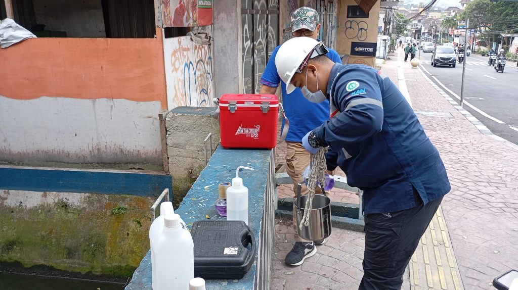
GREENEVA identifies water pollution sources through field surveys supported by spatial analysis, providing a more comprehensive and geographically informed understanding of pollution pressures. This approach enables the systematic mapping of both point and non-point sources of pollution.
Identified sources include residential areas, livestock operations, industrial activities, agricultural land, commercial facilities, and various other urban activities that may affect river water quality. Integrating field observations with spatial analysis provides an important foundation for understanding pollution distribution patterns, the interactions among activities within a watershed, and the contribution of each source to overall river water quality conditions.
Furthermore, the identification results can be integrated with water quality assessments at individual monitoring locations. Calculating the Water Quality Index (WQI/IKA) for each monitoring point provides a more detailed picture of water quality conditions, making it possible to identify river reaches experiencing greater pollution pressure and requiring priority management.
In the preparation of RPPMA, pollution source identification can also be extended to pollutant load capacity analysis. By combining water quality data, environmental laboratory test results (LHU), and the characteristics of the receiving water body, it is possible to determine a river’s capacity to assimilate pollutant loads without exceeding established water quality standards.
The results of this analysis are particularly valuable, as they enable local governments to identify river reaches that have exceeded their pollution load capacity, link water quality conditions to dominant activities surrounding monitoring locations, and establish more targeted priorities for pollution prevention and control.
Ultimately, RPPMA serves not only as a planning document, but also as a practical guide for maintaining healthy and productive rivers that continue to provide long-term benefits for communities.